

Oak Creek Watershed Restoration Plan

Oak Creek at Mill Pond in South Milwaukee
Overview
The Oak Creek Watershed is located entirely within Milwaukee County. Oak Creek originates in the City of Franklin, with the majority of flow contributed by urban runoff. As it makes its way east, Oak Creek receives flows from the North Branch and the Mitchell Field Drainage Ditch. In South Milwaukee, Oak Creek meanders through to Grant Park, and ultimately into Lake Michigan. The stream drains about 26 square miles. Principal land cover in the Oak Creek Watershed is a mix of urban and grassland (38% and 32% respectively). The remaining land uses include agriculture (11%), Forest (14%) and Wetland (3%). Oak Creek drains portions of the Cities of Greenfield, Franklin, Oak Creek, South Milwaukee, and Milwaukee.
Issues
Debris and sediment accumulations in the Oak Creek channel
Streambank erosion
City and County maintenance responsibilities within the Oak Creek channel
Flooding of low-lying areas, such as the South Milwaukee High School athletic fields (baseball diamond on the west side of 15th Avenue and football field and track on the east side), and washouts of the foot bridge connecting neighborhoods west of the High School/Middle School campus near Beech Street
Sanitary sewer backups into basements
The effects of land use changes throughout the watershed on sedimentation, streambank erosion, stormwater runoff, flooding, and sanitary sewer backups
The condition of the Mill Pond along the Creek in the City of South Milwaukee
Lake Michigan bluff stability at a location in Grant Park where significant bluff erosion is occurring
Planning
The Oak Creek Watershed Restoration Planning (WRP) process began in April 2016 and was completed in February 2022. Click here to see the latest information from our planning partner: The Southeastern Wisconsin Regional Planning Commission (SEWRPC). It was approved by the DNR in May of 2022.
Adoption
Root-Pike WIN is assisting SEWRPC and local leaders in getting the Watershed Restoration Plan adopted in their municipalities. It has been adopted by the municipality of South Milwaukee and Franklin.
IMPLEMENTATION
Root-Pike WIN has begun working with municipalities and landowners to advance the goals and recommendations of the completed Oak Creek Plan.
PLAN CONTENTS
WATERSHED MAP

KEY LOCATIONS

Grant Beach in South Milwaukee

Oak Creek Outlet to Lake Michigan

Mill Pond Dam

Oak Creek at Puetz Rd
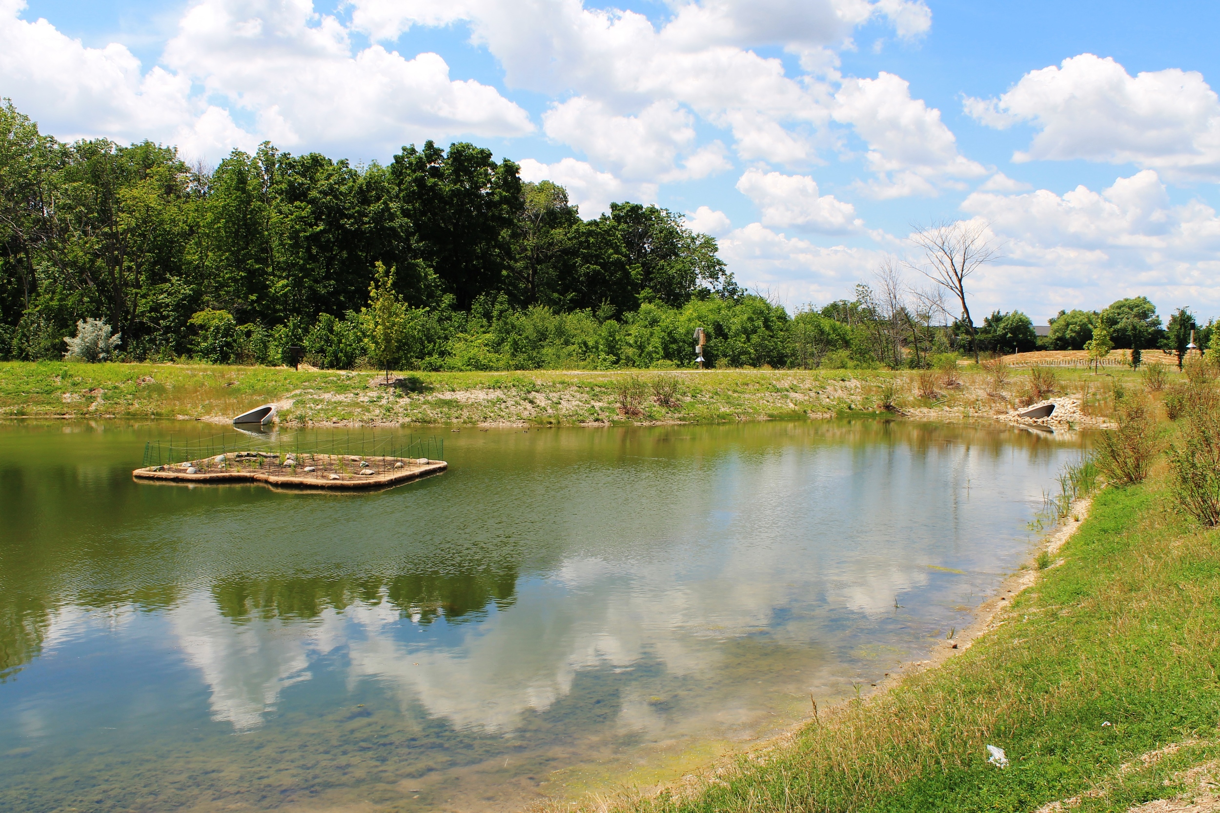
Pollution Reducing Floating Islands - Oak Creek's Drexel Commons